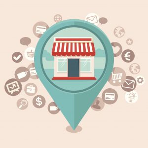
Retail & Geomarketing
Uilitize geolocation technology to make shopping with you as convenient and secure as possible. Give your customers the power to search for which of your stores are the closest as well as offer them valuable promotions for when they are near to drive traffic.
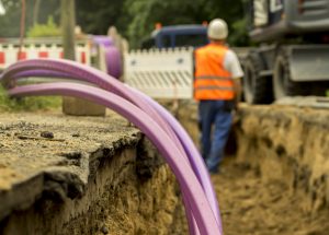
Telecom & Utilities
Empower your workforce to become more efficient in locating and solving utility issues when they occur. Notify the right technicians and direct them to where they need to be through location visualization and increase productivity by accelerating the collaboration process. Likewise, better manage your fixed assets and equipment by gaining insights on where they are, when they should be upgraded and which to prioritize for maintenance.
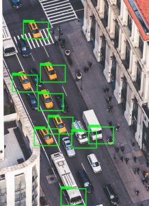
Automotive
Enhance the safety of car drivers and making journeys more reliable by giving them exemplary navigational information when they are on the road. Help drivers save time and guide them to their destination as soon as possible by pinpointing which route is the most optimal and alert them of upcoming concerns such as slippery roads, traffic jams, and accidents.

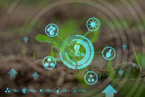
Fisheries & Precision Farming
Keep track of the location and activities of your fishing vessels when they are out fishing, traveling or anchored. Gain insight on where you can catch the most fish or predict the movement of a fish migration with global positioning information. Efficiently apply the data you received to form maps of fishing efforts and quantify how much harvest is needed for each trip and obtain as much resource within the season.
Likewise, achieve precision agriculture and reap the benefits of micromanaging your fields through the usage of geospatial information. By regularly collect timely data on soil-plant-animal requirements and prescribing specific treatments such as the application of pesticides and fertilizers, you will be able to reduce your expenses as well as produce a higher yield of crops. On top of this, you can use the location data for mapping field boundaries, irrigation systems, and problem areas in crops.